Le Xertigny tour Xertigny Vosges
Le Xertigny tour Xertigny Vosges vendredi 1 mai 2026.
Le Xertigny tour Adultes A pieds Difficile
Le Xertigny tour PARKING SALLE MULTI ACTIVITE RASEY 88220 Xertigny Vosges Grand Est
Durée : 660 Distance : 45000.0 Tarif :
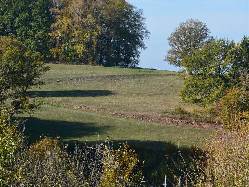
Ce circuit a été imaginé pour présenter l’intégralité du territoire communal en s’approchant au plus près de ses limites géographiques et altimétriques. Le randonneur y est face à deux alternatives soit il relève le défi de l’embrasser en une fois, soit il préfère l’apprécier par étapes en profitant des hébergements qui le jalonnent. Dans les deux cas, on a la possibilité d’appréhender un territoire riche d’histoires, de reliefs et de diverses beautés toutes naturelles. A consommer sans modération.
Départ parking de la salle multi-activités de Rasey
1. Remonter le cône jusque Fauquemont.
2. Gravir et parcourir la crête jusque Moyenpal.
3. Traverser le massif de Tillonhaye jusqu’au Viaduc.
4. Longer la pisciculture en remontant le Cône jusque ‘’la Torèle’’.
5. Rejoindre et traverser le Fays Richard.
6. Passer le massif du Rechentreux jusqu’au moulin de la Semoule.
7. Se rafraichir à la cascade du Gueu du Saut et rejoindre la Semouse
8. Remonter vers les Débans et traverser le Fays Duquin.
9. Longer la terre des Aulnouses
10. Descendre la côte d’Amerey
11. Arpenter les territoires agricoles de la Chapelle aux bois
12. Surplomber le Coney, couloir historique Méditerranée mer du Nord.
Contrairement aux autres circuits qui sont numérotés de 1 à 14, le »Xertigny tour » est balisé avec le logo spécifique XT
Difficile
Afficher la carte du lieu et trouvez le meilleur itinéraire
English :
This circuit has been designed to present the entire municipal territory as close as possible to its geographical and altimetric limits. The hiker is faced with two alternatives: either he takes up the challenge of embracing it all at once, or he prefers to enjoy it in stages, taking advantage of the accommodation along the way. In both cases, it is possible to appreciate a territory rich in history, relief and various natural beauties. To consume without moderation.
Departure parking of the multi-activity room of Rasey:
1. Take the cone up to Fauquemont.
2. Climb and traverse the ridge to Moyenpal.
3. Cross the Tillonhaye massif to the Viaduct.
4. To go along the fish farm by going up the Cone to the Torela .
5. Joining and crossing the Fays Richard.
6. Pass the Rechentreux massif to the Semolina mill.
7. Refresh at the Gueu du Saut waterfall and join the Semouse
8. Go up towards the Débans and cross the Fays Duquin.
9. To skirt the land of the Aulnouses
10. Going down the Amerey Coast
11. Surveying the agricultural land of the Chapelle aux bois
12. Overlooking the Coney, a historic Mediterranean North Sea corridor.
Contrary to the other circuits which are numbered from 1 to 14, the »Xertigny tour » is marked with the specific XT logo
Deutsch :
Dieser Rundweg wurde so konzipiert, dass er das gesamte Gemeindegebiet präsentiert und sich dabei so nah wie möglich an seine geografischen und höhenmäßigen Grenzen hält. Der Wanderer steht vor zwei Alternativen: Entweder er nimmt die Herausforderung an, das gesamte Gebiet auf einmal zu umrunden, oder er zieht es vor, es in Etappen zu genießen und dabei die Unterkünfte entlang der Strecke zu nutzen. In beiden Fällen hat man die Möglichkeit, ein Gebiet zu erkunden, das reich an Geschichte, Reliefs und verschiedenen natürlichen Schönheiten ist. Ein Genuss ohne Mäßigung.
Start: Parkplatz der Mehrzweckhalle von Rasey:
1. Gehen Sie den Kegel hinauf bis nach Fauquemont.
2. Steigen Sie auf und laufen Sie auf dem Kamm bis Moyenpal.
3. Überqueren Sie das Massiv von Tillonhaye bis zum Viadukt.
4. Gehen Sie an der Fischzucht vorbei und steigen Sie den Cône hinauf bis nach La Torèle .
5. Erreichen und überqueren Sie den Fays Richard.
6. Gehen Sie am Massif du Rechentreux vorbei bis zur Moulin de la Semoule.
7. Erfrischen Sie sich am Wasserfall von Gueu du Saut und erreichen Sie die Semouse
8. Steigen Sie hinauf zu Les Débans und überqueren Sie den Fays Duquin.
9. Am Land der Aulnouses entlang gehen
10. Gehen Sie die Côte d’Amerey hinunter
11. Durch die landwirtschaftlichen Gebiete von La Chapelle aux bois streifen
12. Den Coney überblicken, einen historischen Korridor zwischen dem Mittelmeer und der Nordsee.
Im Gegensatz zu den anderen Touren, die von 1 bis 14 nummeriert sind, ist die »Xertigny tour » mit dem spezifischen XT-Logo markiert
Italiano :
Questo percorso è stato progettato per coprire l’intero territorio comunale nel modo più vicino possibile ai suoi limiti geografici e altimetrici. L’escursionista ha due alternative: o accetta la sfida di percorrerlo tutto d’un fiato, o preferisce goderselo a tappe, approfittando delle strutture ricettive lungo il percorso. In entrambi i casi, avrete l’opportunità di scoprire un territorio ricco di storia, di rilievi e di bellezze naturali. Da gustare senza moderazione.
Partenza dal parcheggio della sala multiattività di Rasey:
1. Risalire il cono fino a Fauquemont.
2. Salite e camminate lungo la cresta fino a Moyenpal.
3. Attraversare il massiccio del Tillonhaye fino al viadotto.
4. Seguire l’allevamento di pesci risalendo la Cône fino a La Torèle.
5. Raggiungere e attraversare il Fays Richard.
6. Superare il massiccio di Rechentreux fino al mulino di Semoule.
7. Rinfrescatevi alla cascata del Gueu du Saut e unitevi alla Semouse
8. Salite a Débans e attraversate il Fays Duquin.
9. Passeggiata lungo la terra degli Aulnouse
10. Scendere la côte d’Amerey
11. Passeggiata attraverso il terreno agricolo di La Chapelle aux Bois
12. Affacciato sul Coney, lo storico corridoio Mediterraneo-Mar del Nord.
A differenza degli altri circuiti, numerati da 1 a 14, il tour di Xertigny è contrassegnato dal logo specifico XT
Español :
Esta ruta ha sido diseñada para cubrir todo el municipio lo más cerca posible de sus límites geográficos y altitudinales. El excursionista tiene dos alternativas: o bien acepta el reto de recorrerlo todo de una sola vez, o bien prefiere disfrutarlo por etapas, aprovechando los alojamientos del camino. En ambos casos, tendrá la oportunidad de descubrir un territorio rico en historia, relieve y belleza natural. Para disfrutar sin moderación.
Salida desde el aparcamiento de la sala multiactividades de Rasey:
1. Sube por el cono hasta Fauquemont.
2. Subir y caminar por la cresta hasta Moyenpal.
3. Cruzar el macizo de Tillonhaye hasta el Viaducto.
4. Siga la piscifactoría por el Cône hasta La Torèle.
5. Une y cruza el Fays Richard.
6. Pasar el macizo de Rechentreux hasta el molino de Semoule.
7. Refrésquese en la cascada de Gueu du Saut y únase a la Semouse
8. Subir a Débans y cruzar el Fays Duquin.
9. Paseo por la tierra de las Aulnouses
10. Bajar por la côte d’Amerey
11. Paseo por las tierras agrícolas de La Chapelle aux Bois
12. Con vistas al Coney, el histórico corredor Mediterráneo-Mar del Norte.
A diferencia de los demás circuitos, que están numerados del 1 al 14, el »Xertigny tour » está marcado con el logotipo específico XT
Cet itinéraire a été mise à jour le 2024-12-23 par Système d’information touristique Lorrain